


- Search
- Riyadh28 ° C


Kingdom to use ‘LIDAR’ for satellite imagery
The King Abdul Aziz City for Science and Technology (KACST) has filmed more than 10 million square km through its satellites during the year 2015, according to its president, Prince Turki bin Saud bin Mohammed Al-Saud.
The prince said this while inaugurating the first International Remote Sensing Conference in Saudi Arabia at the King Faisal Hall here on Sunday. The conference, with a concurrent exhibition, held under the aegis of Deputy Crown Prince Mohammed bin Salman, was a big draw among persons interested in space technology.
The three-day event, organized by KACST, is co-sponsored by Saudi Aramco and other companies in the country. More than 30 national and global companies are taking part in the exhibition which is running in parallel with the three-day conference.
The KACST chief also said that the city has, for nearly 30 years, used remote sensing techniques to meet the requirements of development in the Kingdom by providing many authorities with high-resolution satellite images.
Highlighting the importance of remote sensing in the Kingdom, the prince said that Custodian of the Two Holy Mosques King Salman has rendered maximum support to KACST to develop its technical capabilities in remote sensing and also to develop the human resources needed for such facilities.
He said those efforts and unlimited support have yielded to provide a developed technology structure and qualified national cadres in many technical fields, including remote sensing techniques.
“The Kingdom’s strategic plan is to transform the country into a knowledge-based economy,” the president said, adding that plans are underway to increase the satellite capabilities in the Kingdom to cater to the needs of the country.
KACST has already launched Saudi SAT 3 which has a life span of seven years. “We are also developing ‘LIDAR’ technology in the satellite systems which would make Saudi Arabia the second country after United States to implement such a system to obtain high resolution images.
LIDAR is a remote sensing technology that measures distance by illuminating a target with a laser and then analyzing the reflected light. Although thought by some to be an acronym of “light detection and ranging,” the term LIDAR was actually created as a portmanteau of “light” and “radar.”
The welcome address was delivered by the chairman of the scientific committee of the conference, Mohamed Al-Farhan, while the keynote address was made by Saad Al-Hamlan on behalf of Abdul Aziz bin Ibrahim Al-Saab, president of the General Commission of Survey.
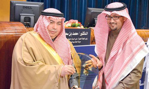
Receiving an award for his contributions toward remote sensing,
Tarabazouni, consultant to the KACST on remote sensing, said the Kingdom has gone a long way in the field of remote sensing. “I am really thrilled at the progress made by the country toward this sector.”
Sultan Al-Mordi, director of National Center for Sensors Technology and Defense Systems, pointed out that all nations have concerns in protecting their countries from illegal immigrants, asylum seekers, smugglers and terrorists. “To overcome these challenges, radar systems have become essential in playing these roles. Radar can be used not only to protect the borders but also to protect important facilities from airborne, ground and maritime targets.”


